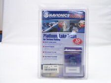
Model: MSD/HMPT-S6
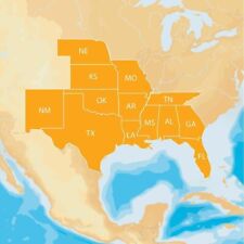
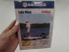
Lake Charts
One foot contours
Daily updates and advanced features for one year
21,000 lakes and growing
Preloaded with Nautical Chart and SonarChart™; Community edits are downloadable.
Enjoy advanced features: SonarChart™ Live, Advanced Map Options and Plotter Sync.
Enhance SonarChart™ with sonar logs you collect .
Structures, reefs, drop-offs, vegetation, boat ramps, marinas, safety depth contours, navaids.
Head out with confidence! All the same lakes content and advanced features found in Navionics+ are augmented with 3D View, satellite overlay and panoramic photos to provide the ultimate situational awareness. Designed with the most demanding boaters and serious anglers in mind, these additional viewing options can be used on a growing number of GPS plotters. Quickly target the best spots and catch more fish!